As the weather forecast was kind of mixed for the weekend I decided to have an easy and relaxing weekend in my hut in Arni. Easy and relaxing? Sure! No crazy 10+h walks in steep terrain. When I made the decision I still had something in my mind which some would consider as crazy. But the fact is that it was just an unimportant mountain somewhere in Switzerland. And I would say it is a safe bet that less that 1% of the Swiss population would even know its name. I am talking about Mäntliser, which is actually not even the highest mountain in the Leutschach valley but nevertheless I would consider it the king of the valley due to its position. And I still had a score to settle with this mountain. The eastern ridge had drawn my attention last year when I was trying to reach Ruchen. And the eastern ridge to Mäntliser was standing in the way of doing a big hiking tour of the whole Leutschach valley. The only problem was that this ridge didn’t look like a Sunday afternoon walk. I just had found one report of somebody going up that ridge. But those guys seemed to be proper mountaineers and not Marco F. trying to behave like one. Myself I tried the ridge once last year but had to give up before the middle as the weather was turning bad. The only problem with all this is that once I have something in my mind it is difficult the get it out again … So the eastern ridge was still on my to-do list and I was planning another attempt this weekend.
After having done quite a number of technical hikes this year I was more than convinced that this time I was going to succeed.
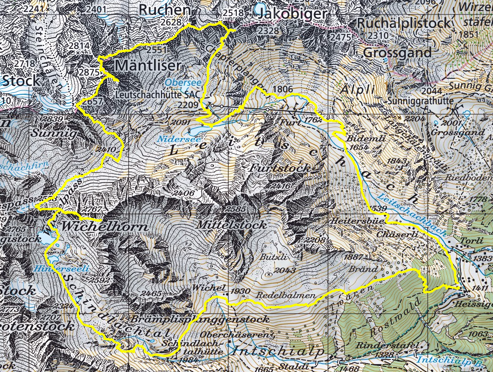
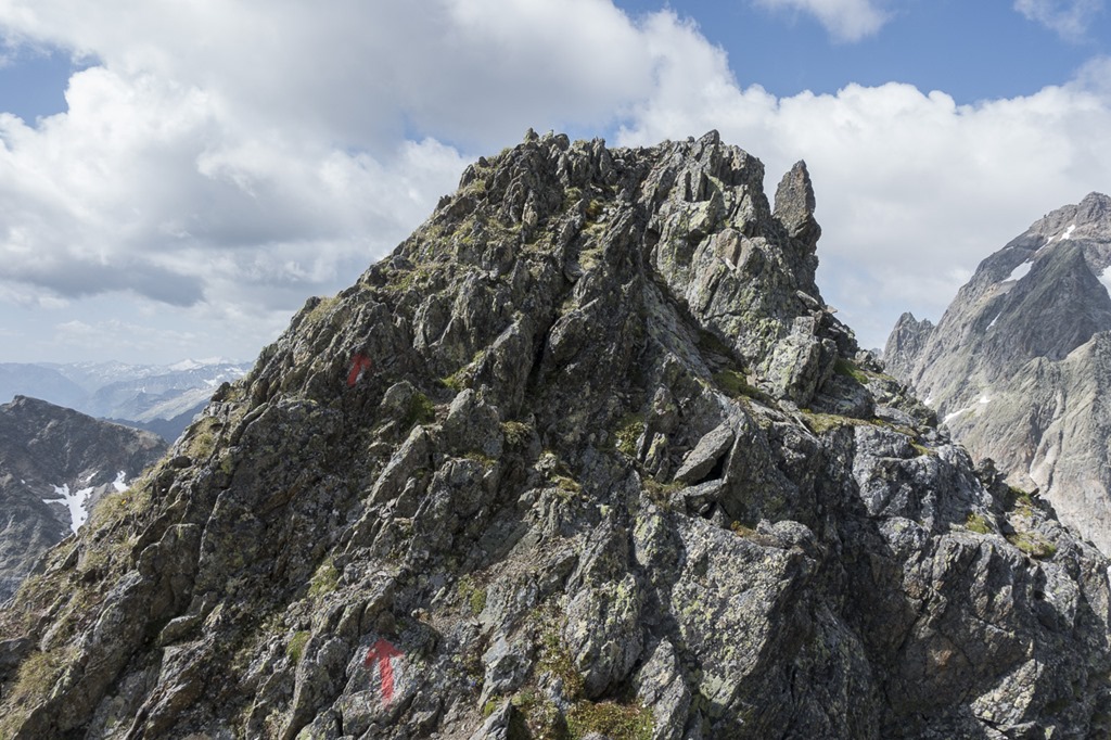
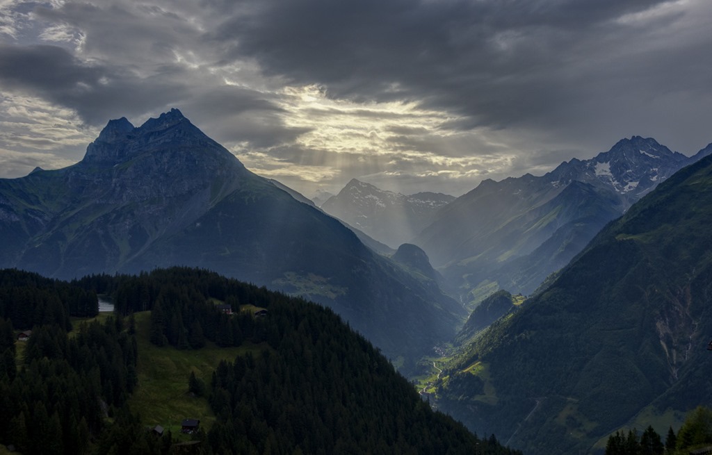
As the weather was kind of uncertain I started rather late at 05:15. So when the sun was rising I was still far down in the valley. But I already got a nice glimpse onto today’s target, the Mäntliser. And it is obvious: This is the king of the valley …
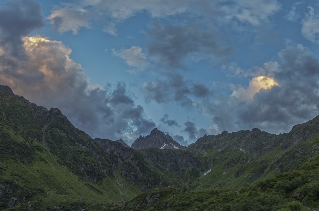
Looking back the sun was playing a game with the clouds.
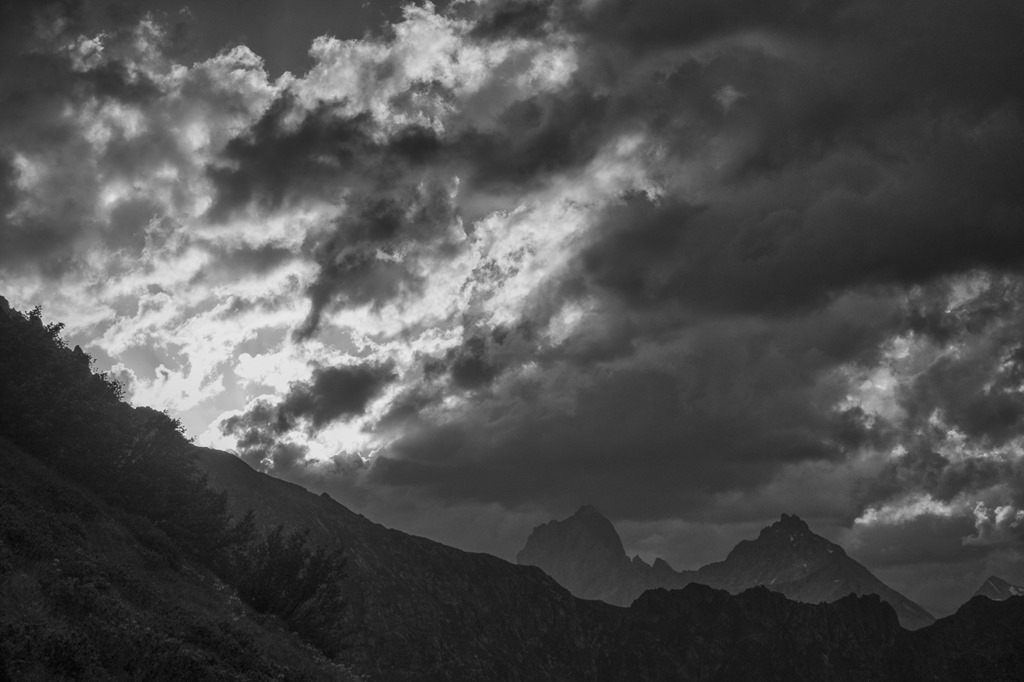
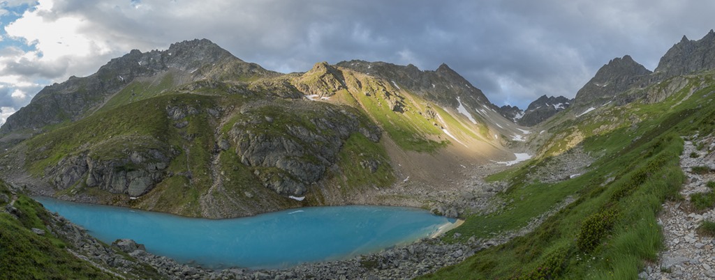
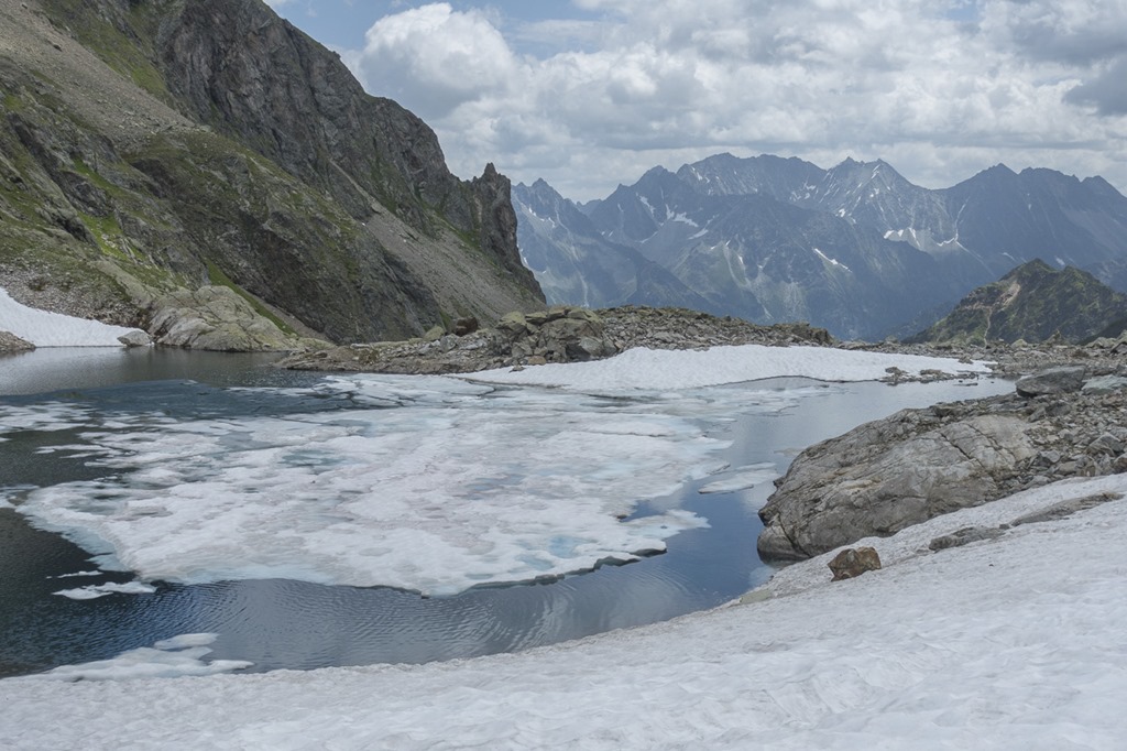
I reached the Nidersee at around 7 just to witness the game the sun was playing with the lake and the mountains.
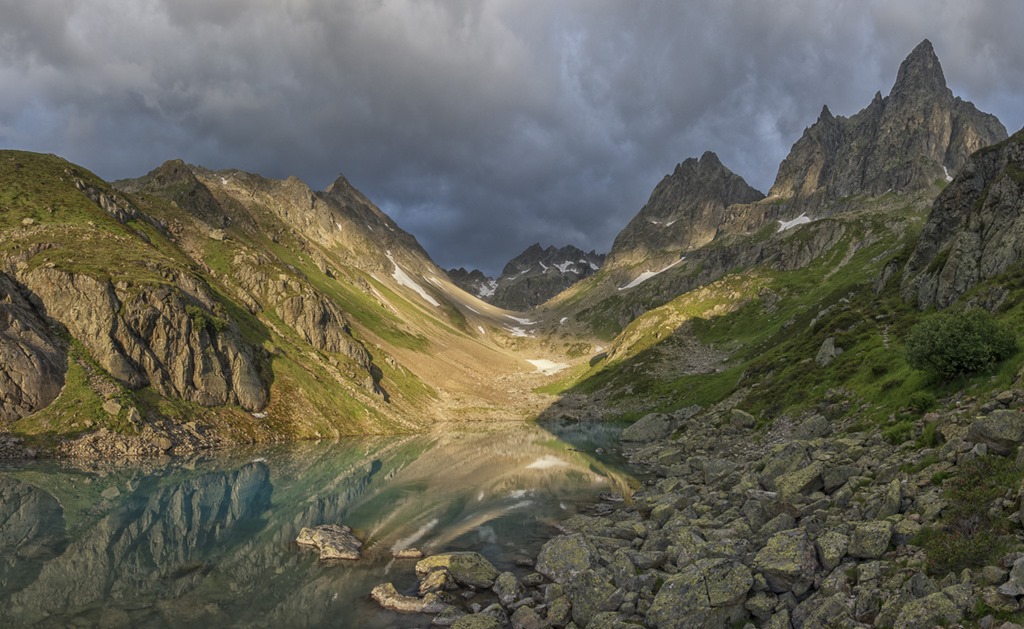
The same lake from a little bit further above.
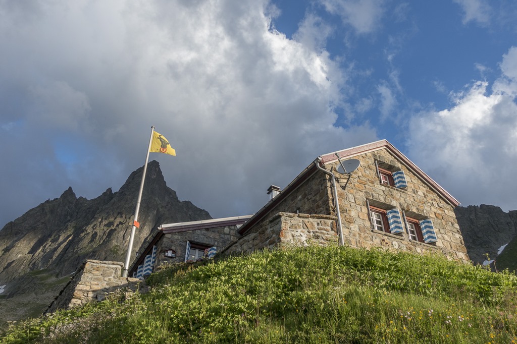
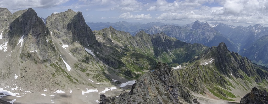
I was passing the Leutschach hut shortly after 7. I looked like everybody was still sleeping. And guess what? The mountain in the back is the Mäntliser ![]()
On my way to the Mäntliser I had planed to include the Ruchen mountain again. But today I wanted to try to get to the Ruchen from the other side. The way to the ridge was pretty steep but manageable, definitely easier than the climbing I had done from the other side two weeks ago.
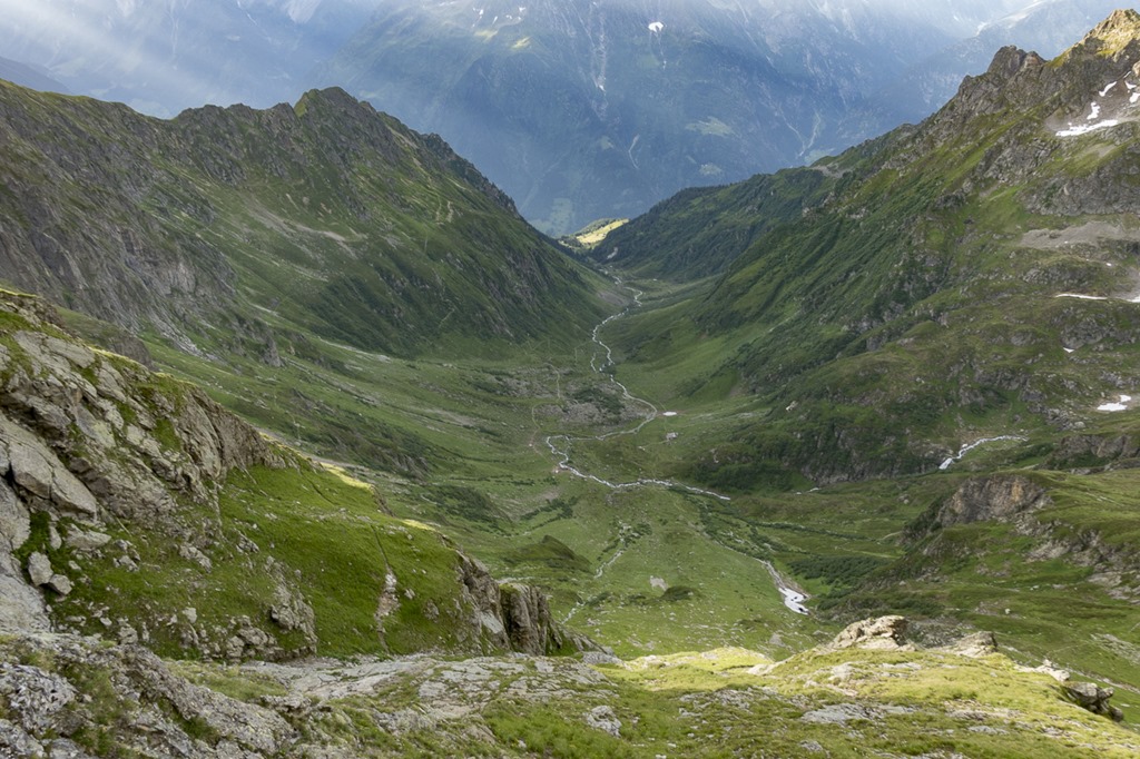
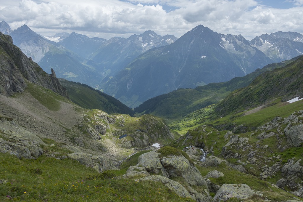
This is the view down the Leutschach valley. In the middle where the Sun is illuminating a small piece of land is the location of my hut.
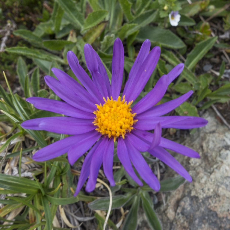
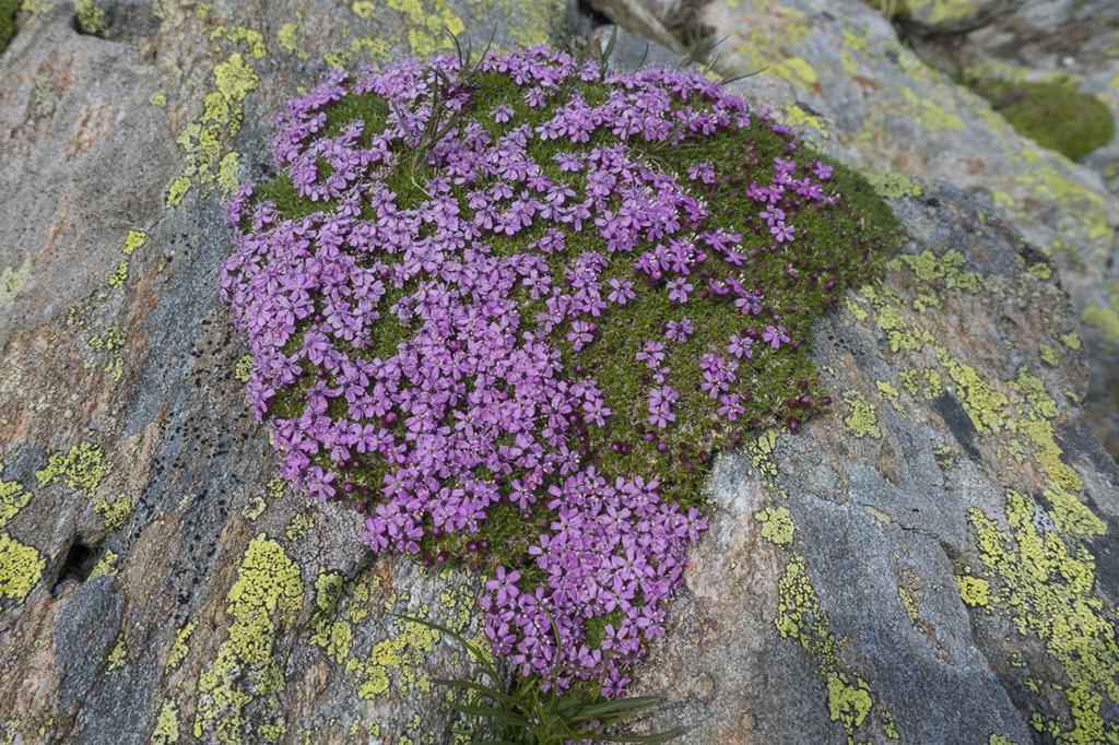
Another nice flower in the mountains.
Once I reached the ridge which was leading to the Ruchen mountain I had a short first break. The view was already very nice, particular with the rays of the sun stretching out over the mountains. The following picture shows the first mountains o the Leutschach Valley: Jakobiger and Ruchälplistock
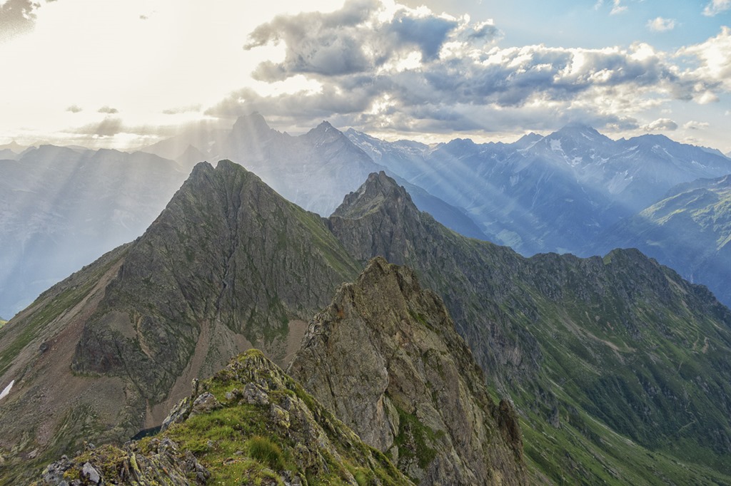
And the other side with the things to come.
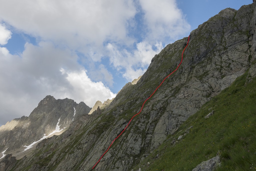
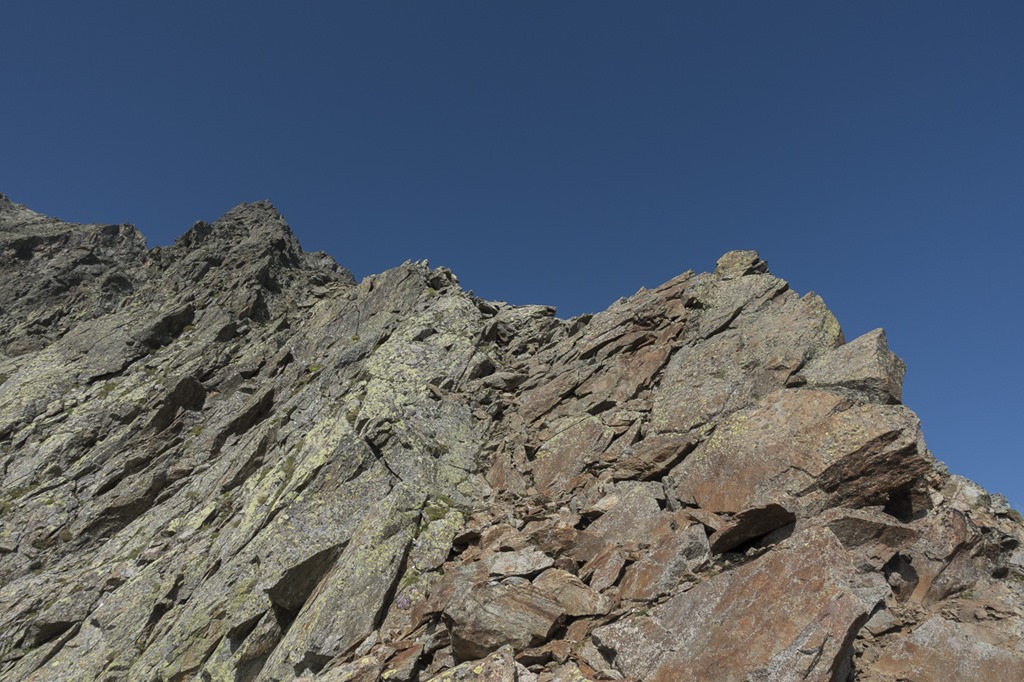
Today the Ruchen was already much easier compared to last time. Soon I was standing at the beginning of the Ridge to Mäntliser. The first part looked quite easy but towards the end it was getting steeper and steeper. I was prepared for anything so I started the climb.
Even though the area looks like there is no place for flowers, you can find them everywhere.
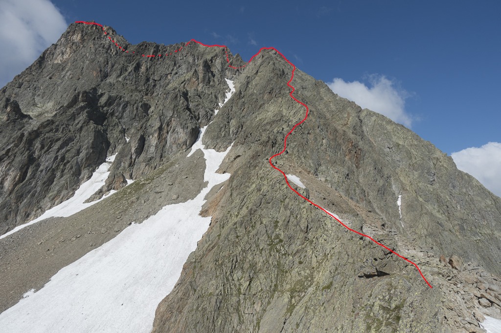
The ridge up to Mäntliser was much easier than it had looked from below. If you made a good choice of your track the rock was more or less solid all the time.
Only towards the top when the ridge was getting too steep and I had to get into the flank I was fighting with some rubble.
Once I reached the top of the ridge there was still some obstacle ahead of me before I could reach Mäntliser. But once again it looked more difficult that it actually was: Go down – use flank – go up to ridge – cheer on Mäntliser summit!
The following video shows the last part of the ridge up to the summit. Be advised, the video is rather shaky.
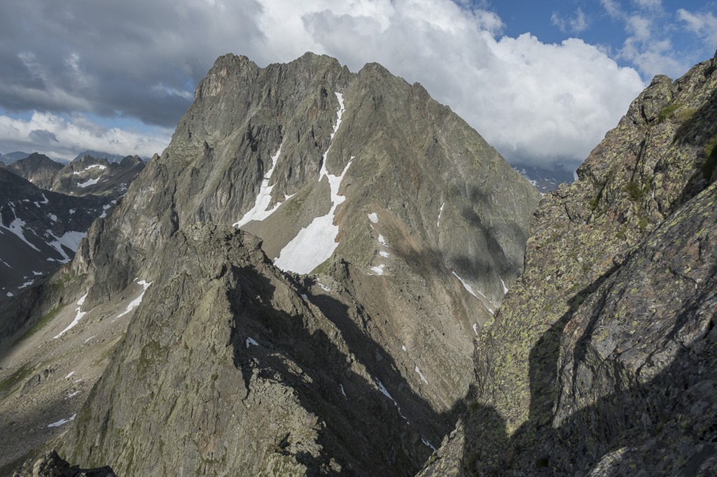
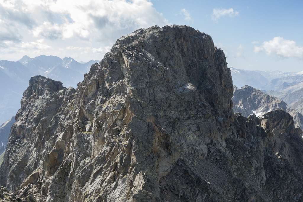
Now it was time to celebrate the summit by taking a picture with the Krönten in the back.
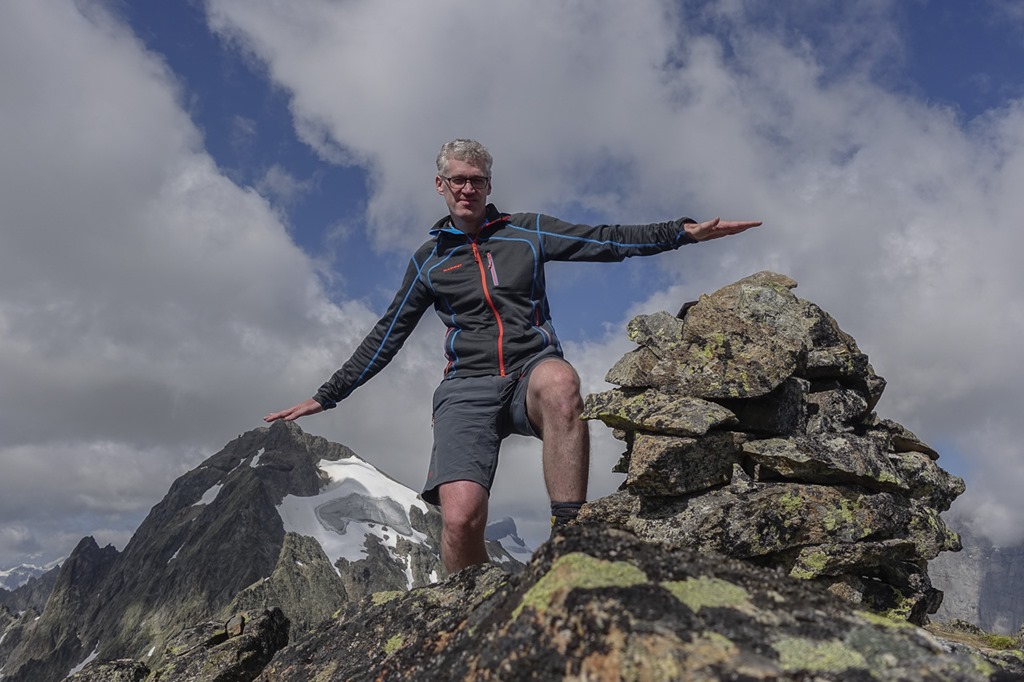
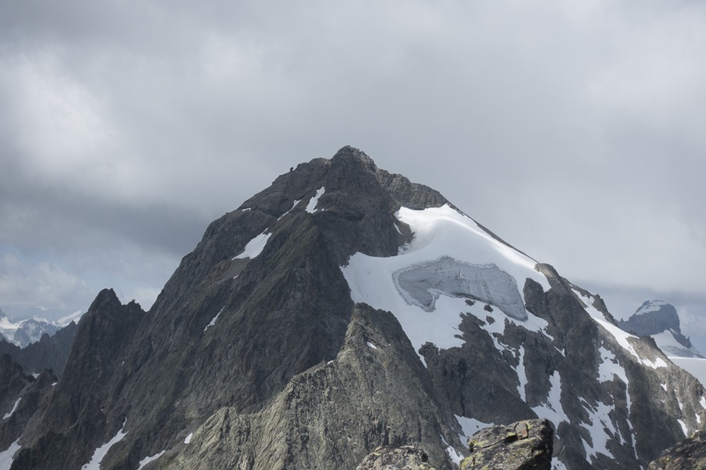
Close up for Krönten, which is technically speaking the highest mountain in Leutschach valley.
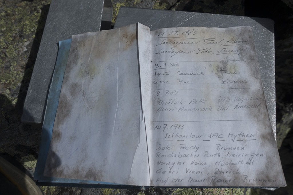
The “summit book” of Mäntliser is the oldest I have every seen. The first entry is from 1983 and there are still some pages free in the back. Obviously not too many people are coming up here. And most of them are actually climbers doing the South-East wall.
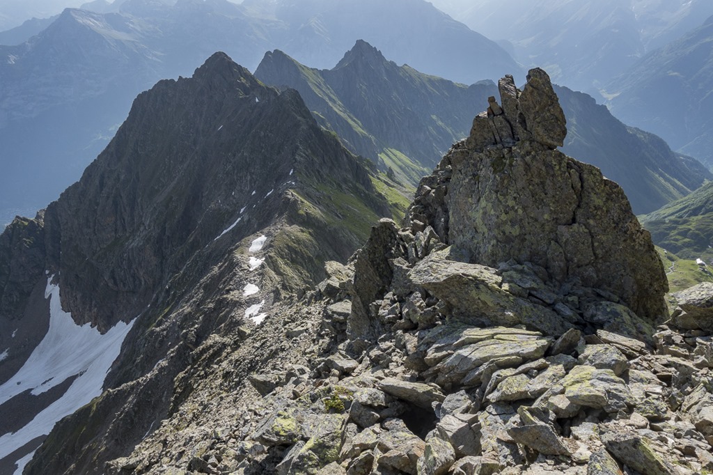
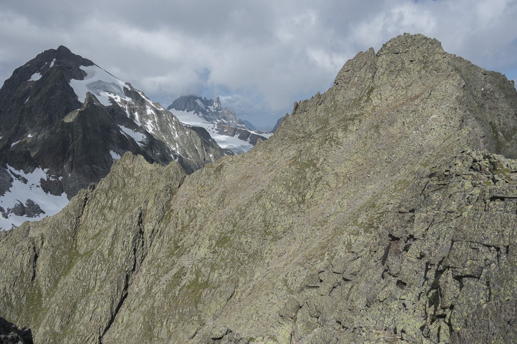
Looking back to the summit. The way down is going in the middle up to the ridge and then following it down. The way down has actually marks to follow.
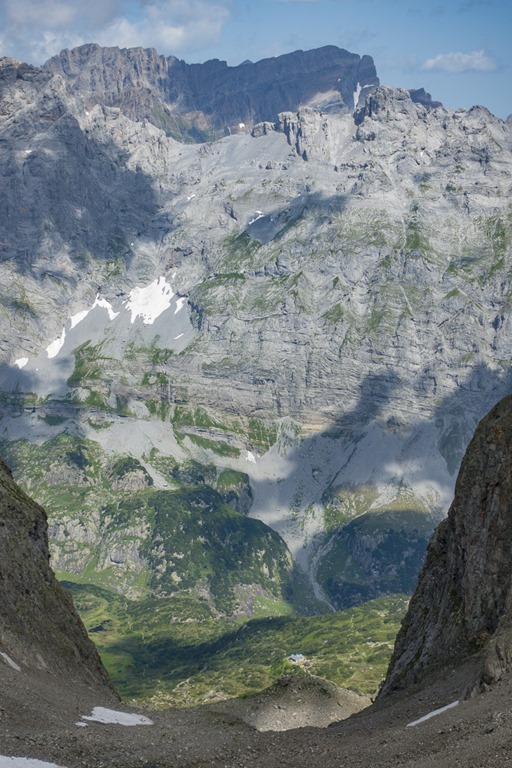
Sometime the way down is up. But as the trail is marked you don’t need to worry about getting into the wrong place. The trail ends at the Ruchen pass which is between the Leutschach Valley and the Krönten Hut.
From the Ruchpass you can see the Krönten hut deep down. Actually the trail from there up here is quite nice as long as you are not yet in the area where you have to walk on loose rubble. There you are looking for the fast forward button. But there is none. An the same fate you have to suffer on the other side of the Ruchpass into the Leutschach valley. Luckily for me this time I was just going downwards. So you just need to check if there are any hikers further down before you start creating an average avalanche of falling rocks by just going straight down. The marked trail which is zig-zagging down would just make you suffer longer. As I had decided to go to the Wichelhorn and do a loop back to Arni I had to first go up the the Wichel pass. Let’s just let’s fast forward to there as nothing spectacular is in between.
Before going down from the Wichelpass through the Schindlachtal and returning to my hut I decided to make a quick visit to the Wichelhorn in order to check out the trail. It’s not an officially maintained mountain hiking trail even though it is marked. The reason why I wanted to check it was that starting at my hut you could do a very nice hike around the mountain and I am planning something like that with some friends. But I had to admit that a few places on the ridge are probably too steep for somebody who has never done any hikes in the mountains … so I need to come up with another plan … skip the hiking part and start the party straight away? … Maybe not such a bad plan …
This is the ridge to the Wichelhorn. As easy as it can be!
From the top of the Wichelhorn you have a phenomenal view over the Leutschach valley.
The way back to my hut was accelerated by the fact that there was still snow in the upper part of the Schindlach Valley and I could slide down. And of course I skipped the part where you could “refresh” yourself in a little lake which was still covered by ice and snow. I am not crazy!
Next day I talked to some hikers who have done it. Their comment was like “1 minute in the water and then 30 minutes to warm up again” …
The Schindlach Valley is opening up and this is where the very nice high hiking trail back to Arni starts.
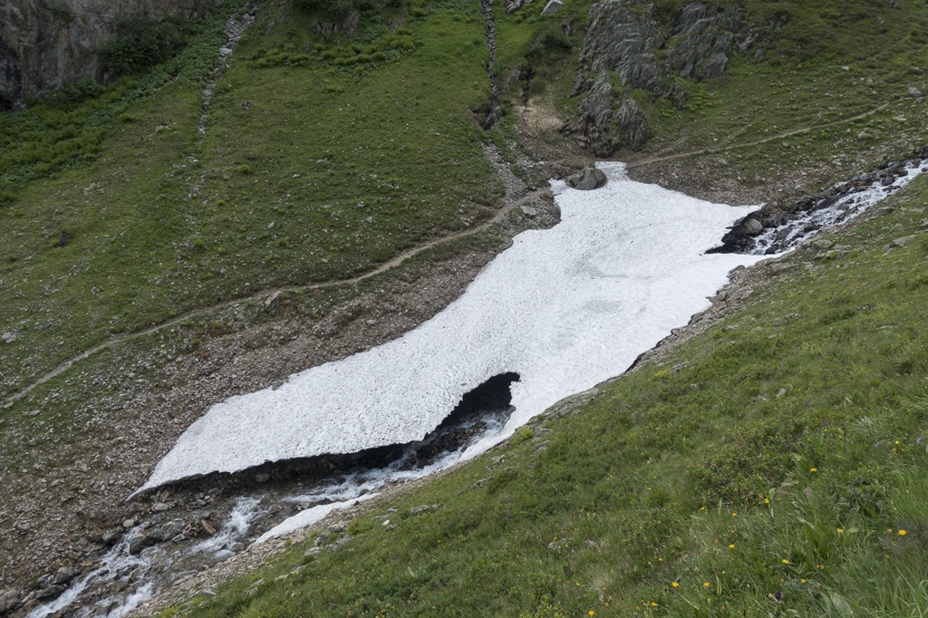
Some last remaining snow is fighting a desperate battle with a stream.
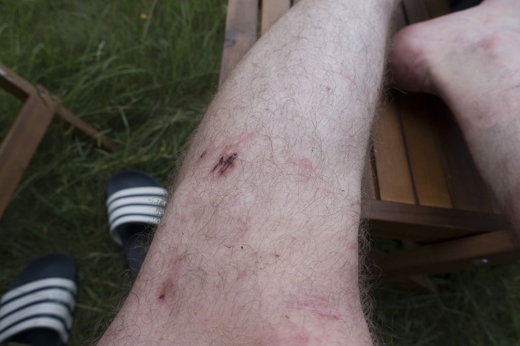
This is the price you have to pay for going into rocky terrain with shorts.
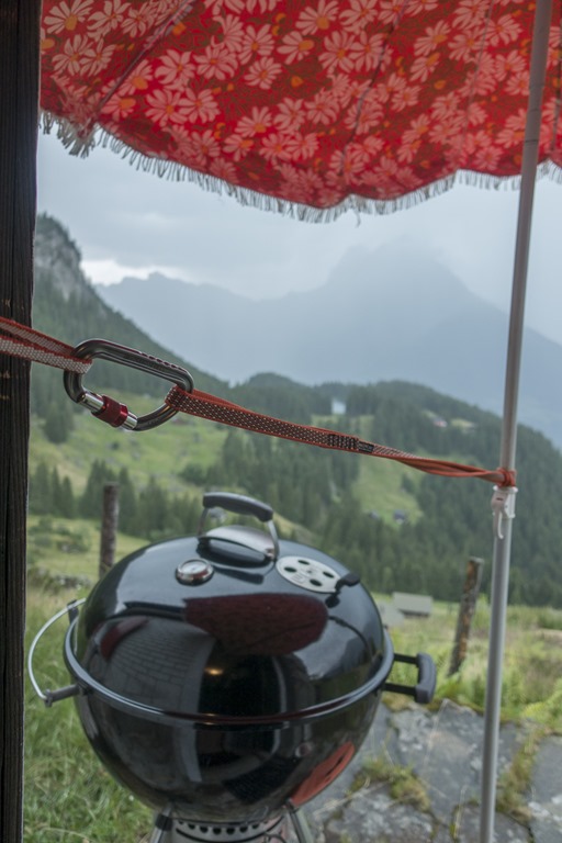
During the whole day I was carefully watching what the weather was doing. The forecast predicted some thunderstorm for late afternoon. And you definitely don’t want to get stuck in such a thing in the mountains. Three hours after I had returned to my hut the thunderstorm started as predicted but nevertheless caught me a little off guard as I just had started to prepare the fire in my grill. Luckily I had enough mountain security gear with me in order to protect the grill from the rain. ![]()
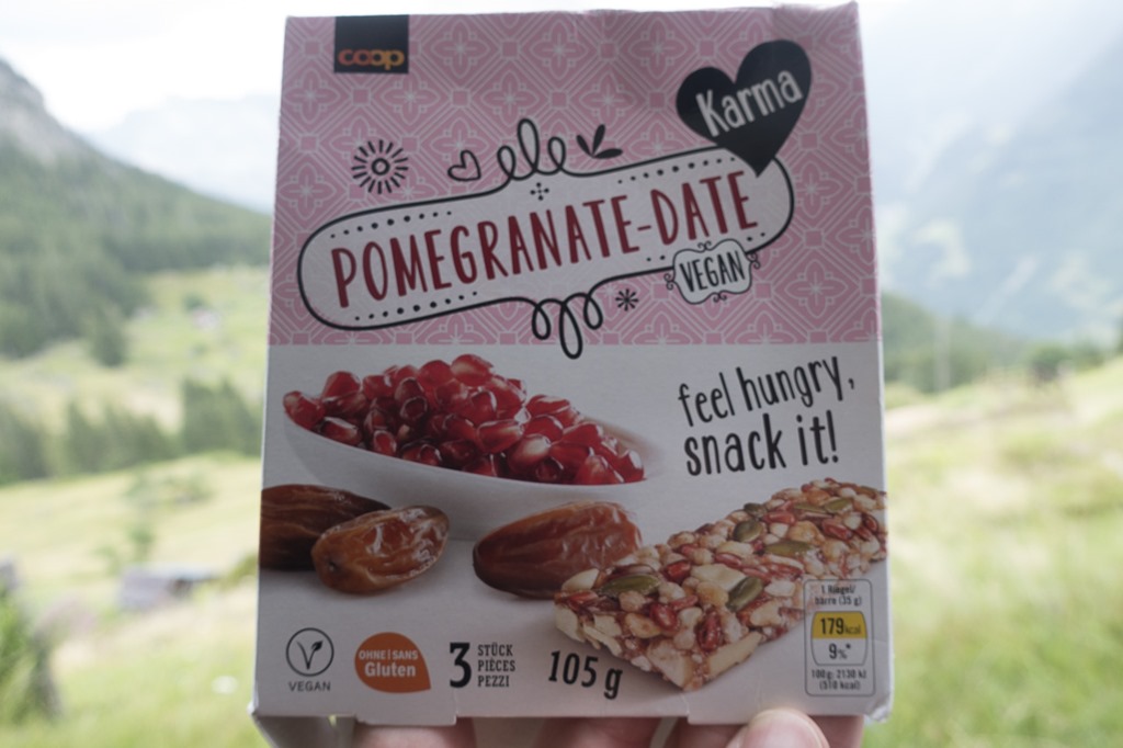
When I was cleaning my bag pack I figured out that today’s hiking was sponsored by vegan gluten-free “Pomegranate-Date”
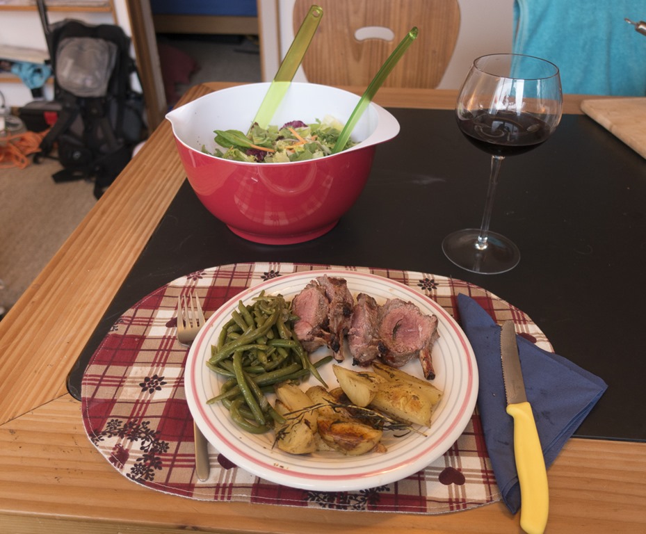
So that’s why I was in dire need of 500 gr of non-vegan Lamb rack. Enjoy your meal! ![]()
And after the rain there was sunshine nicely illuminating the Madranaer Valley.
Distance: 19.70 km
Ascend (Altitude gain): 2125 m
Duration: 09:05 h